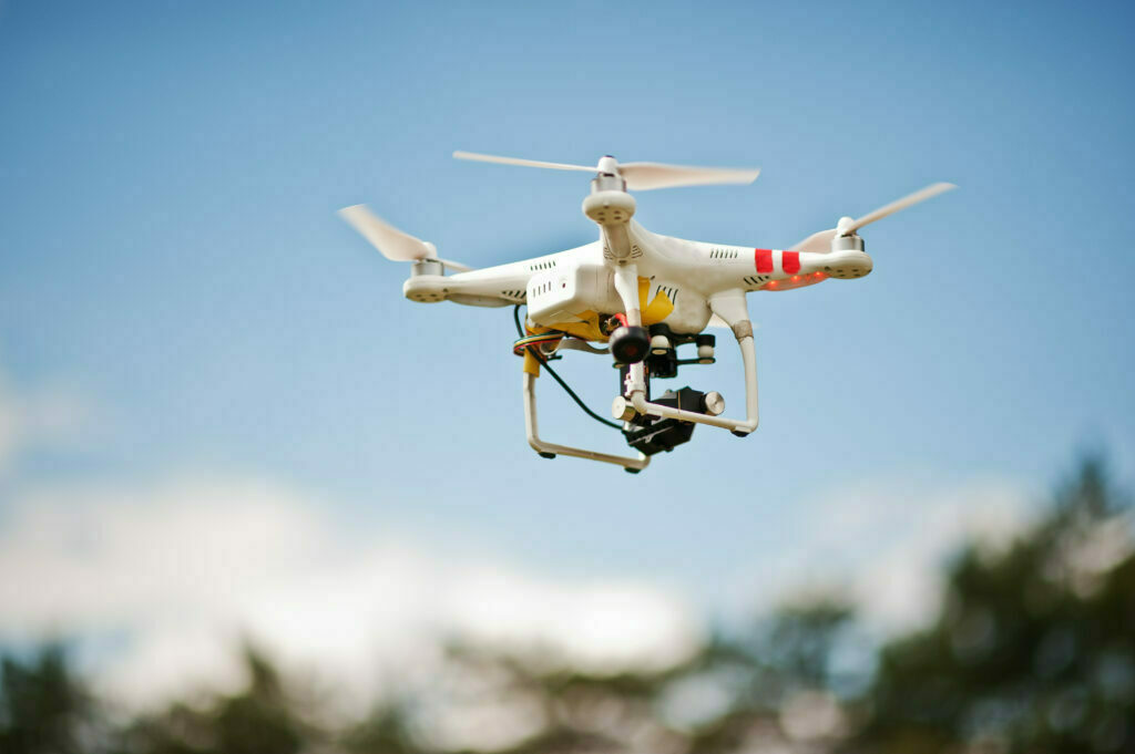
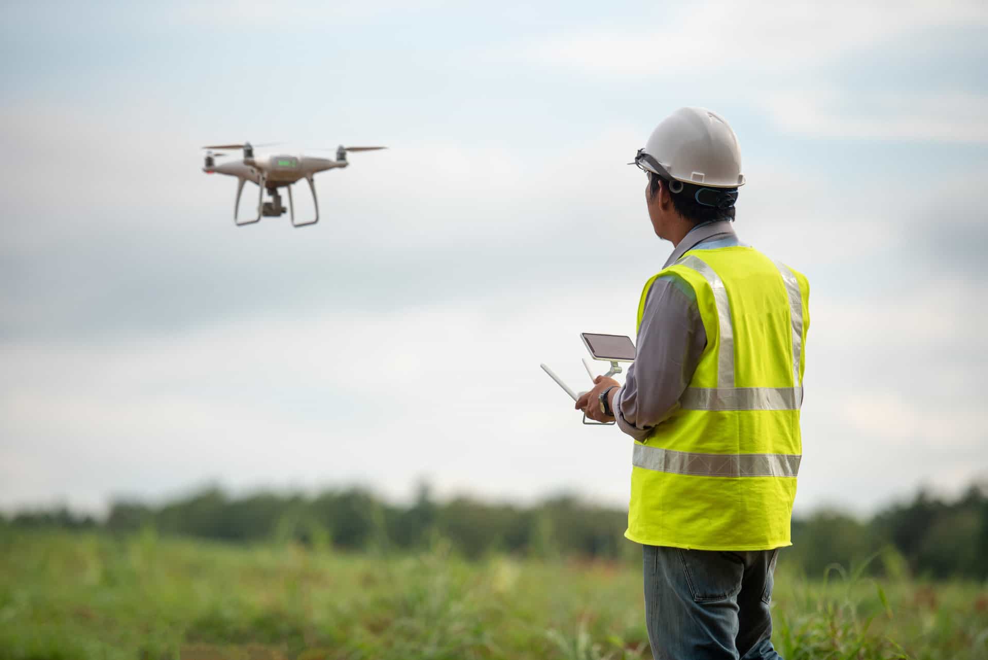
With the modern advancements of drone scanning, photogrammetry provides the best and most accurate data available to professionals. All in a convenient and safe way like never before.
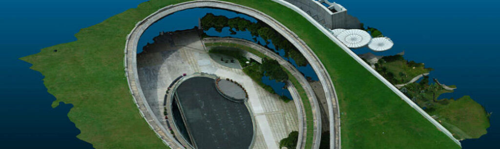
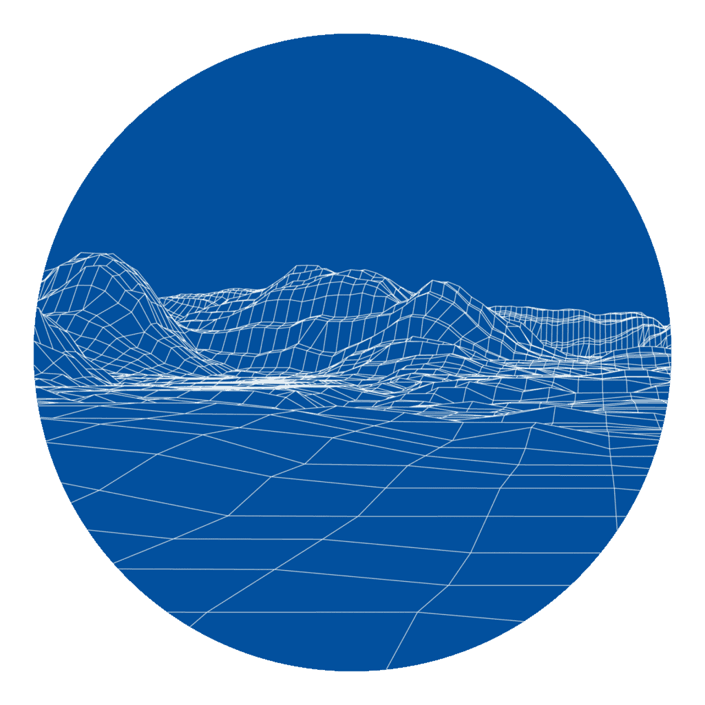
3D mesh model of Marina Barrage using images taken with drone
As technology advances with the rapid progress of globalization, the need to adopt safer and faster techniques in place of labor-intensive work has become increasingly important for businesses to stay competitive.
Today drones have become an essential tool in the industrial sector and more precisely for topography and mapping. It has brought a significant impact on the data acquisition world and it is changing the way we document, study, and respond to conditions in both natural and manmade environments.
In the area of data acquisition for monitoring and inspection purposes, the use of drones has definitely changed the way how facilities management, consultants and construction project teams manage their design, maintenance and construction works. With various post-processing steps, raw images and video footage taken during the drone flights could provide users with a comprehensive view of the existing conditions and current situations on the ground with geo-referenced information right from their desk.
How It Works
Step 01
Drone captures a large number of high-resolution photos in an area
Step 02
Images with the same features are then overlapped to be combined
Step 03
The images are processed using photogrammetry software during post- processing
Step 04
Photorealistic 3D representations of topographic surfaces are generated
Recreating reality with technology
From small buildings to sprawling large areas, documenting your building or structure has never been easier. With our advanced drone, software, and certified drone pilots, we are able to help you acquire the data you need in a timely, safe, and cost-effective manner. We harness the power of visual data and ensure you have confidence in every decision.
Ryobi-G is here to bring surveying to the next level of mapping precision.
Cover large areas at faster rate, saving a lot of time and cost
Safe
We perform high-risk task for you in a safer manner
Licensed Pilot
Our drone operations are in compliance with the law and handled by our pilot that hold UA Pilot Licence (UAPL)
DIFFERENT DATA ACQUISITION APPROACHES FOR VARIOUS LEVELS OF REQUIREMENTS OF COMMON IN SINGAPORE
Before the start of each project, it is important for both the data acquisition team and client to first establish a common understanding on what is required of the drone flights and how it will affect its data accuracy over the time taken, effort spent and other resources allocated. The four main types of data acquisition approaches differ in terms of how the images are geo-referenced. They may be done by: – GPS data – Ground Control Points – Real-time Kinematic – Post-processed Kinematic
Our Drone Photogrammetry Deliverables
3D Point Cloud
3D point cloud for model creation, geo-referenced measurements and comparisons.
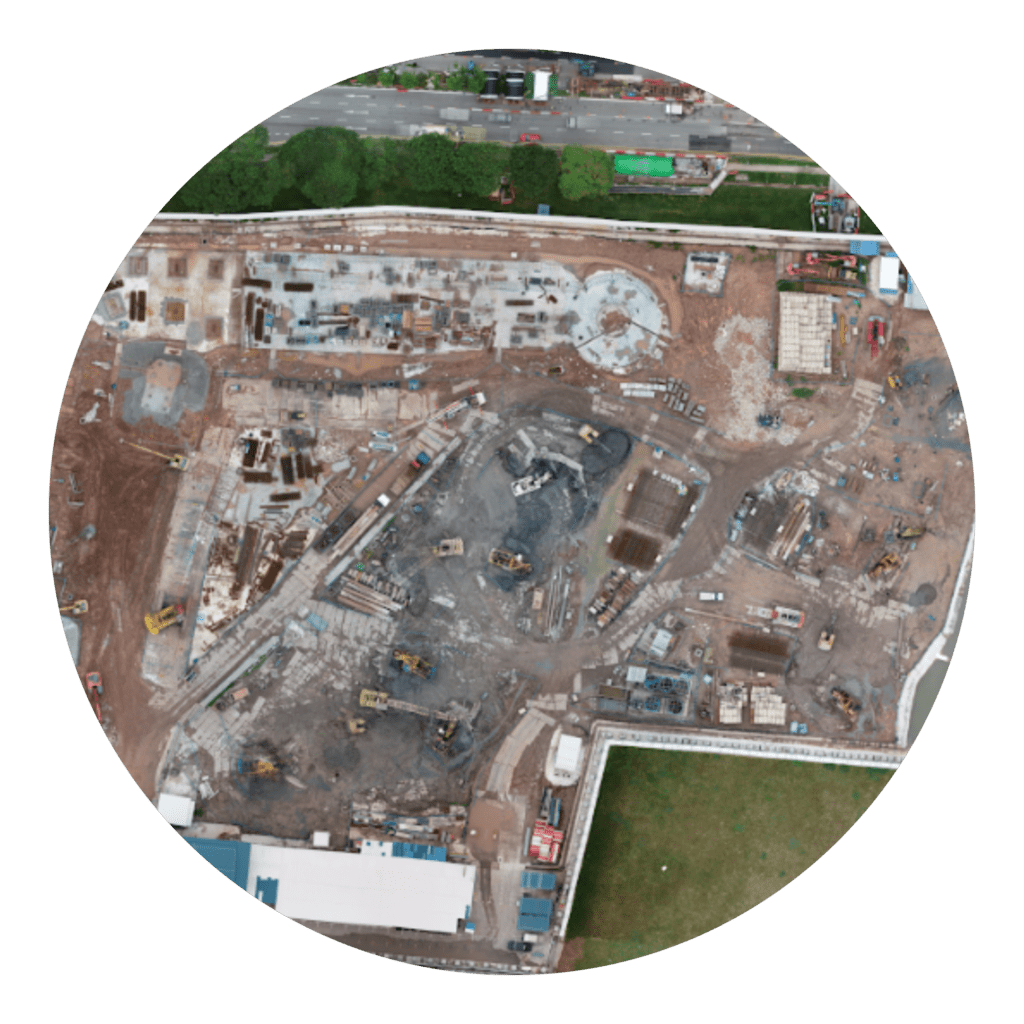
2D Orthomosaic
2D orthomosaic image of large area for monitoring and inspection.
2D Orthofacade
2D orthofacade image of building for monitoring and facade inspection.
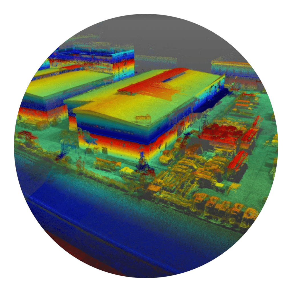
3D Mesh Model
3D mesh model for visualization of large features and areas.
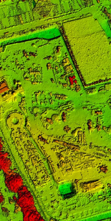
Sample of a Digital Surface Model for an area size of approx. 7.5 ha
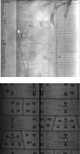
CONDUCTING 100% VISUAL INSPECTION USING DRONE FOR BUILDING FACADE INSPECTION IN SINGAPORE
Raw and non stitched-up images may not be able to provide the facade inspectors with a good overview of the facade. This is due to fact that significantly more time is needed to screen through and identify the location of every image taken during the drone flight, in order to ensure a thorough visual inspection is conducted on the facade. In contrast, an ortho-rectified facade image of a building front generated through image post-processing (like the above) allows the data acquisition team to screen through the facade with a large stitched-up image to further identify and classify the defects seen.
2D ORTHOMOSAIC IMAGE OF LARGE SITES TO MONITOR AND INSPECT THE PROGRESS OF REQUIRED SITE INSTALLATIONS
Unprocessed images and videos taken with drones may be sufficient for the project team to monitor the progress of their construction site. However, this monitoring effort may not be as effective if the data is to be shared among multiple stakeholders. Therefore, a compatible file format on a common sharing platform that is able to provide meaningful geo-referenced information will mitigate the problem. This could be achieved by producing GIS compatible images geo-referenced with the required coordinates system as specified by the client.
Geo-referenced images like this can be overlaid with multiple GIS data to provide a realistic view and comparison between design layouts and actual positions of the existing assets and installations in progress.